01Boundary
You define it, not the field crew.
You draw the perimeter or the axis of what you look after, and the distance bands that matter to you. Every flight is measured against that same line.
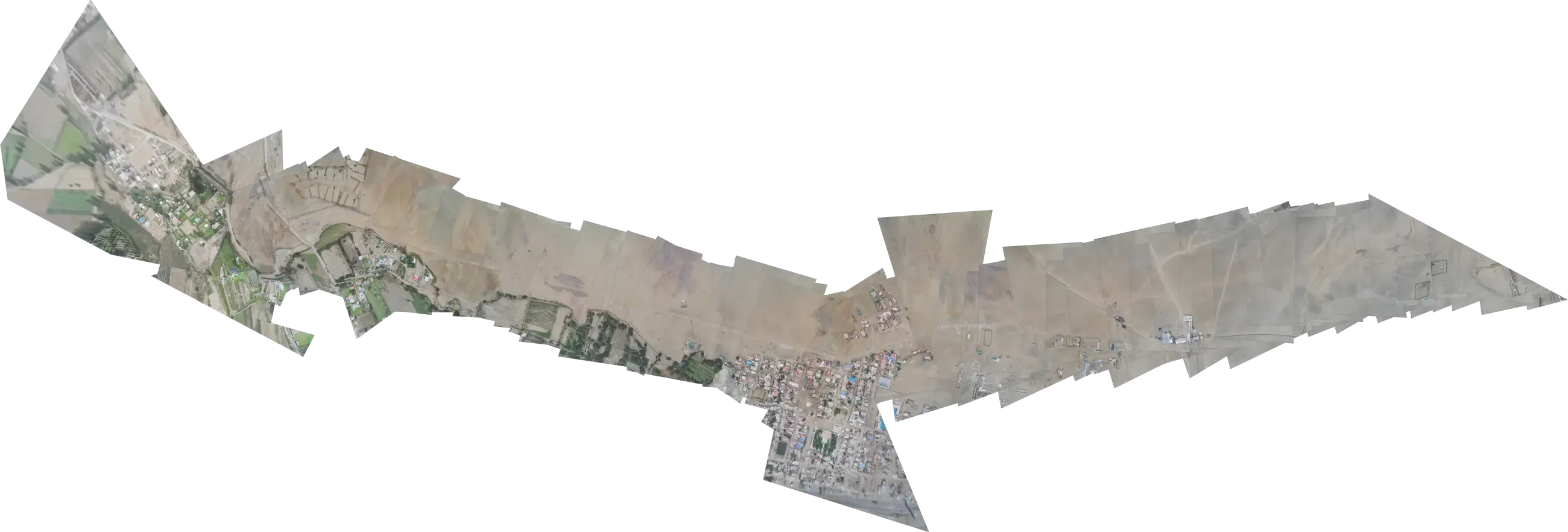
Aerial fence · Large extensions, linear or area
It marks the boundary, alerts you when the ground changes and leaves dated proof of every metre.
What couldn't be seen
The only way today to answer for a large extension:
Costly.Slow.Dangerous.And with no memory.
What that means in practice
Long ground patrols, with people exposed to the terrain and to risk.
Partial coverage: one part gets checked and the rest is assumed.
Scattered evidence no one can cross-check or place on a map.
Whatever appears between two visits becomes an incident. And a meeting.
And what no one saw in time, someone will have to explain.
The centrepiece
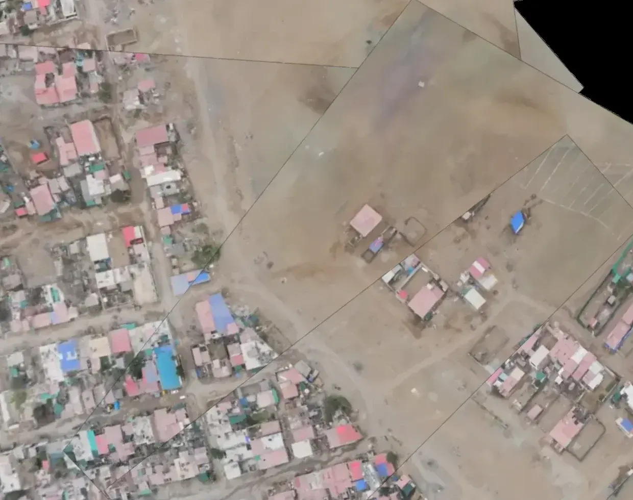
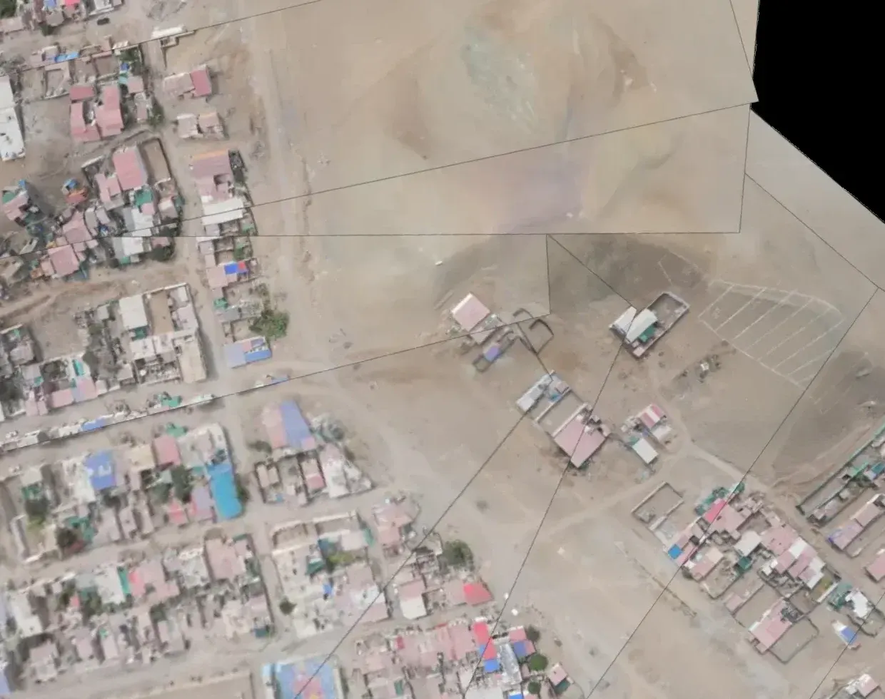
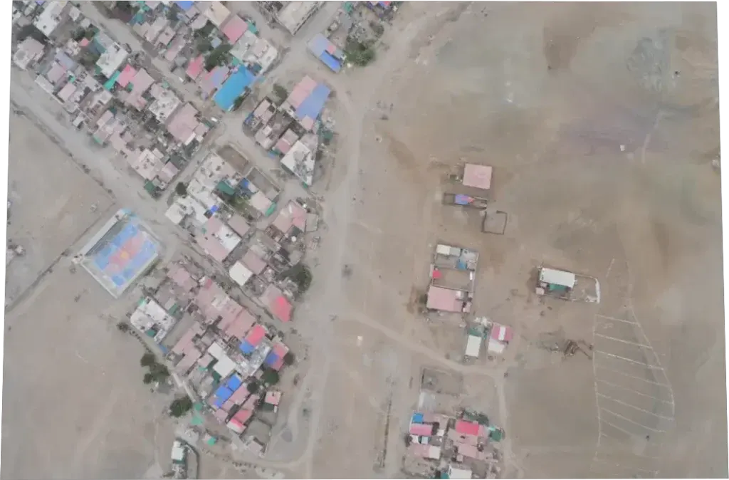
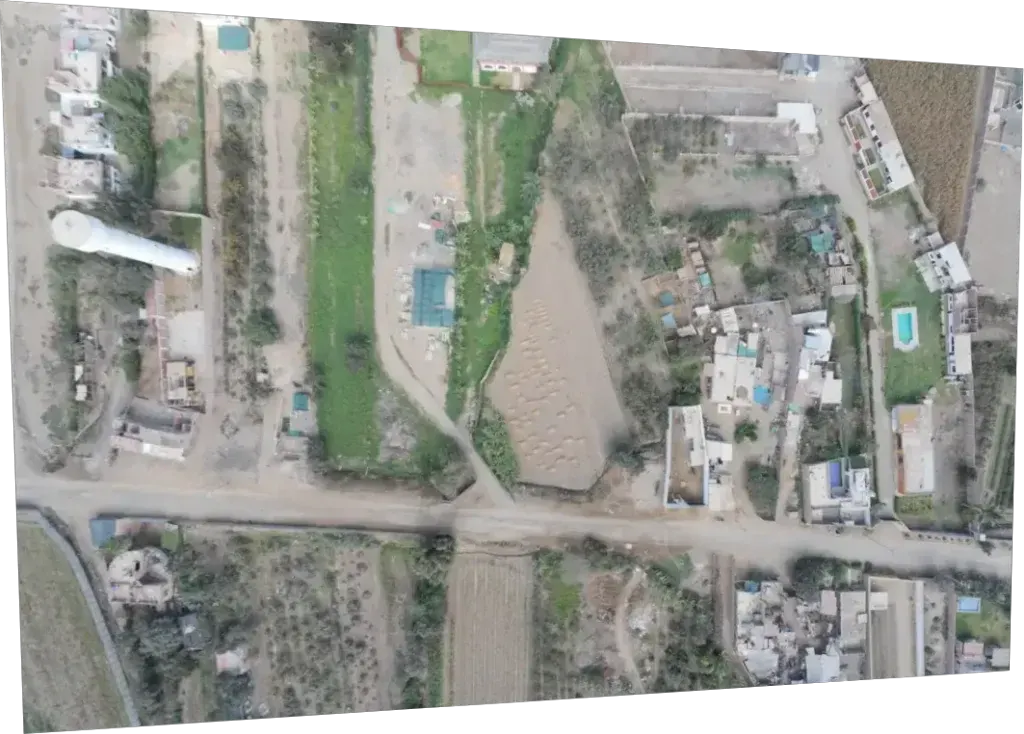
Lay two campaigns one over the other, and what appeared, what moved and what sits where it shouldn't jumps out. You see it; the platform places each image exactly over the same point on the ground.
Why it's called that
A fence does three things: it marks a boundary, it warns when something crosses it, and it proves it was there. No physical fence can do all three along hundreds of kilometres or around thousands of hectares.
01Boundary
You draw the perimeter or the axis of what you look after, and the distance bands that matter to you. Every flight is measured against that same line.
02Alert
Each flight comes back with what it found inside your bands: a new structure, disturbed ground, machinery where it doesn't belong. While the flight is in the air, you watch it come in.
03Proof
Every finding is recorded at the exact spot where it was seen. A year from now you can go back to that same metre and look at what was there.
Every pass sits next to the previous one, over the same metre.
The map
Each photo from the flight lands in its exact place on the ground, and the distance bands you defined are drawn on top. Whatever appears inside them is marked, with its distance to the axis.
Finding · high
Images from a real flight. Card data is illustrative.
How it works
We trace the route over your territory and fly it. A single day can cover around 200 km.
Photos are laid out on the map and whatever appears inside your bands is marked, with its distance and time. A specialist reviews it before it reaches you.
What matters reaches you, in its place on the map. You decide what to do: follow it up, send someone to the ground or dismiss it.
Where it's heading
Having someone watching isn't the promise. It's the stage.
Today, what reaches your team goes through specialists first. With every campaign that margin will keep closing: less load on your people, the same proof.
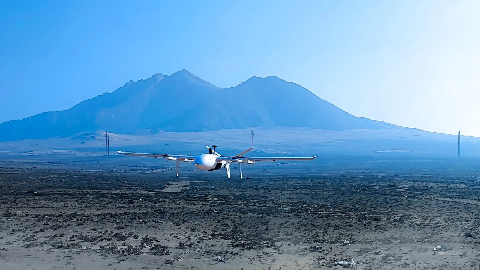
Real scale · Operated by Robotic Air Systems
450,000ha
surveyed from the air
100%
of missions completed
~200km
per flight day
6
countries: Peru, Chile, Colombia, Ecuador, Argentina and Bolivia
Whatever the extension of what you look after, chances are RAS has already flown something bigger.
How we workWho it's for
Companies
Public administration
The proof
Every finding with its position, date and time, so you can look at it again a year from now.
Example with illustrative dataStart with the stretch that worries you most. No need to commit to everything: tell us where something might be happening right now, and that's what we fly first.