Finding · high
Machinery inside the band
- Distance
- 9 m from axis
- Flight
- 18 JUL
- Time
- 09:17
Who it's for
An operation, a corridor, a district, a protected area. If you're accountable for all of it and today you find out too late what changed, the aerial fence is built for you.
Five shapes
An operation is a surface; a corridor, a long line; a system of roads, a network. The fence is drawn on the shape of what you look after, and every flight is measured against that same line.
01
Thousands of hectares that have to be seen whole, not piece by piece.
Mining · large-scale agriculture · urban territory
02
An edge someone can cross, or set up right next to.
Plants · compounds · protected areas · archaeological sites
03
Hundreds of kilometres with distance bands on either side of the axis.
Energy, transport and water corridors · riverbeds · roads
04
A main axis that splits into branches, each with its own band.
Transmission lines · canals and irrigation channels
05
Roads that cross, open up and get occupied.
Service roads · site access · road networks
01Companies
For heads of operations, asset management and site security: the people accountable for kilometres or thousands of hectares with a team that can't cover them, who need to know before something turns into an incident.
Finding · high
Images from a real flight. Card data is illustrative.
01Surface
The question
What moved inside my operation since the last campaign?
What you see
The whole operation in a single view, with two campaigns laid one over the other to compare stockpiles, work fronts and access roads on the same square metre.
02Closed perimeter
The question
Did anyone cross my boundary, or set up right next to it?
What you see
Your boundary drawn with its distance bands, and what each flight found beside it: how many metres away, with date and time.
03Long line
The question
What showed up along my corridor, and how far from the axis?
What you see
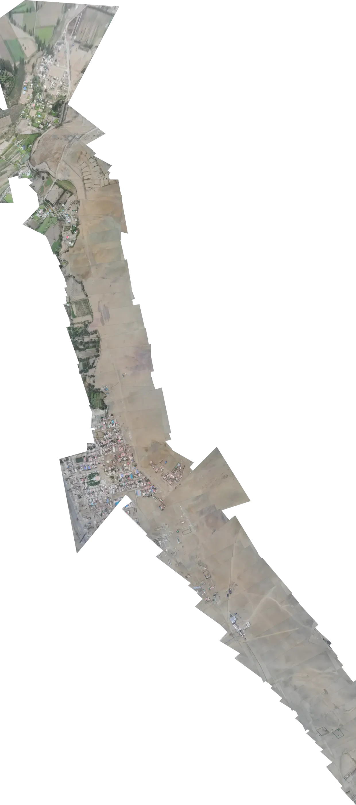
The whole corridor, end to end, with the bands you define and every finding placed with its distance: new structures, disturbed ground, machinery where it doesn't belong.
04Branching route
The question
Is there construction or disturbed ground inside my line's band?
What you see
The route and its branches with their safety band, and what each flight found inside it, at the exact spot where it was seen.
05Access network
The question
What's on my service roads today, and what showed up beside them?
What you see
The whole network on one map, with what was found on each stretch: disturbed ground, structures, machinery or vehicles where they shouldn't be.
06Surface
The question
What changed along my property lines since the last visit?
What you see
All your fields in a single view to compare two dates, with every structure, stockpile or earthwork placed at its position.
02Public administration
For municipalities, regional governments, protected-area managers and public-works units: the people answerable to citizens for territory that changes faster than anyone can inspect it.
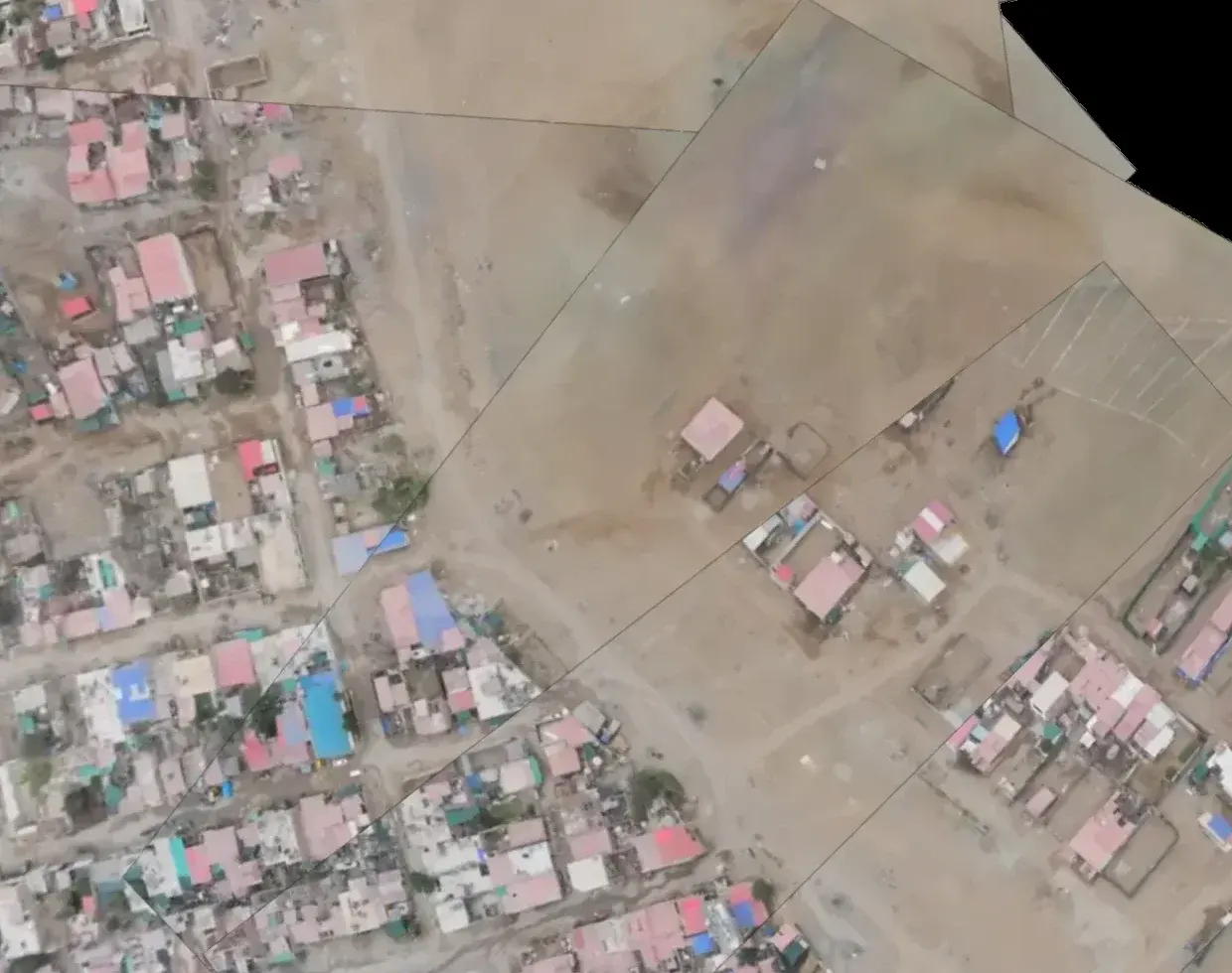
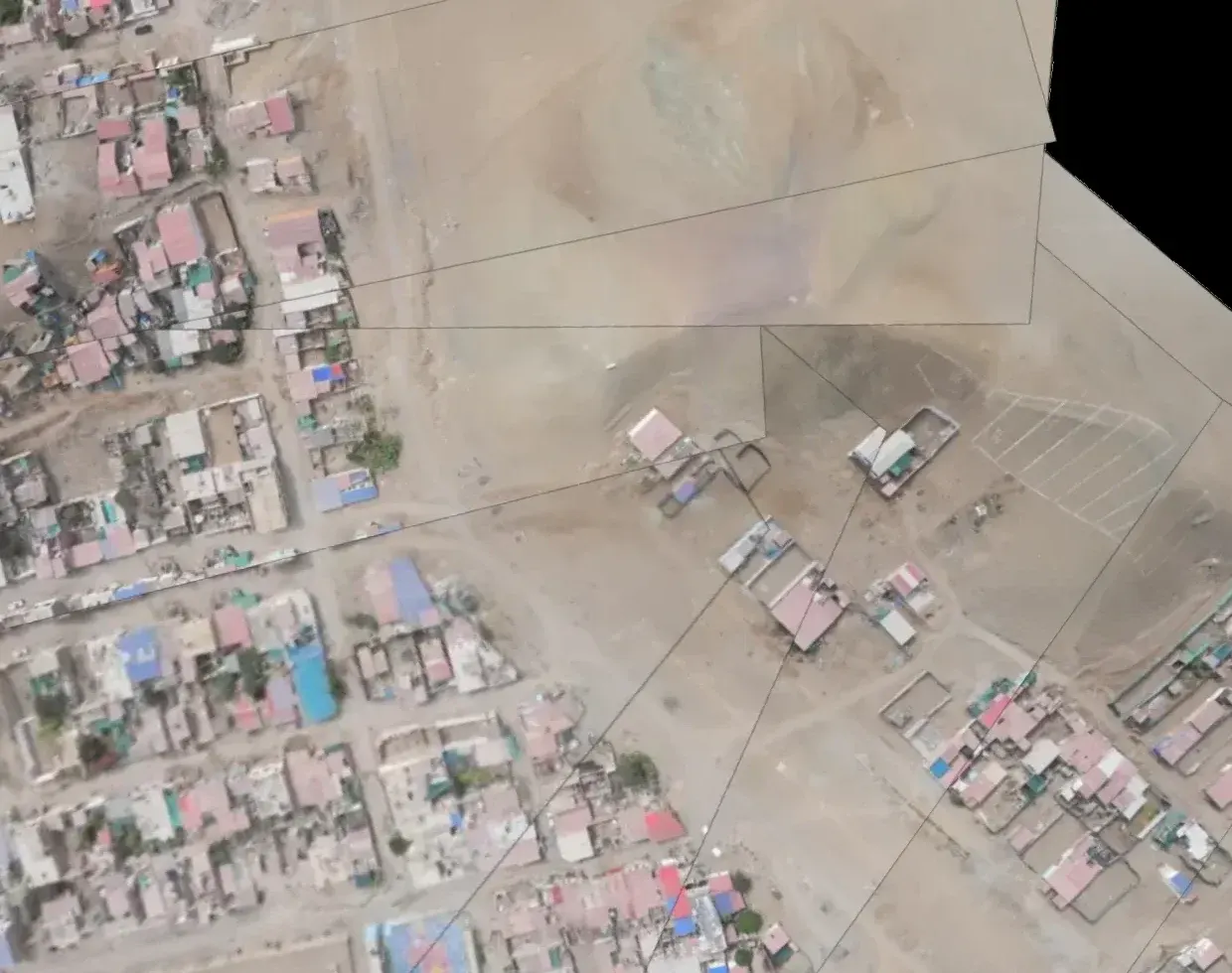
Two dates, the same area
What was built between one campaign and the next jumps out, and you see it without leaving the office. The platform places each image exactly over the same point on the ground.
01Surface
Unplanned occupation and urban sprawl
The question
Where is land being occupied that shouldn't be?
What you see
Two dates of the same area, one over the other: what was built in between, you see for yourself. And every flight comes back with the new structures it found, each with its position.
02Closed perimeter
The question
What showed up inside my area since the last visit?
What you see
The edge of the area as your boundary, and what each flight found inside it or next to it: buildings, disturbed ground, machinery.
03Long line
The question
Is my river's riparian strip being occupied?
What you see
The riverbed as the axis, the riparian strip as a distance band, and every building or stockpile inside it, with its distance.
04Surface
The question
What does the site look like today, compared with what was reported last month?
What you see
The whole site, dated campaign after campaign, so you can compare what was there then with what's there now on the same square metre.
05Closed perimeter
The question
Is anyone occupying land or moving earth next to the site?
What you see
The site's protected zone as your boundary, with bands around it, and what each flight found inside or near it, with date and time.
06Access network
The question
What went up along my roads since the last inspection?
What you see
The road network as the axis, bands on either side, and every structure or stockpile found inside them, with position, date and time.
In any sector
Boundary, alert and proof: the three things a fence does, drawn on the shape of what you look after.
01Boundary
You define the perimeter, the axis or the edge, with the distance bands that matter to you.
02Alert
Every flight comes back with what it found inside your bands. While the flight is in the air, you watch it come in.
03Proof
Every finding keeps its position, date and time, so you can come back to that same square metre a year from now.
Tell us the shape, the size and where you think something might be happening right now. We'll come back with a scope to fly that part first, without committing to everything up front.