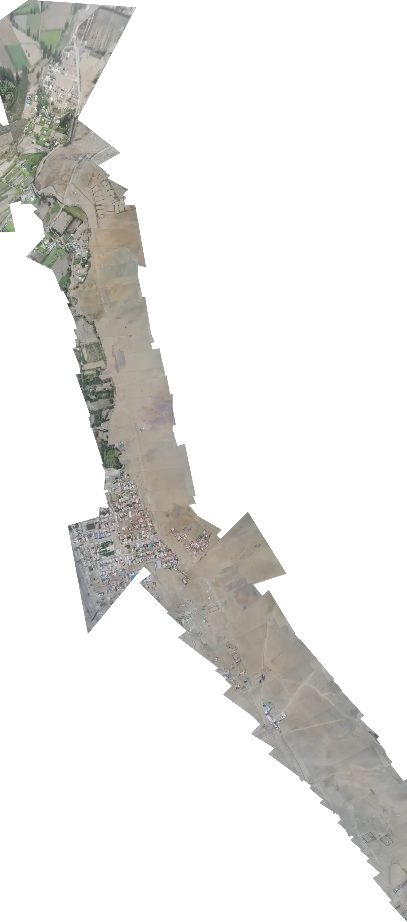
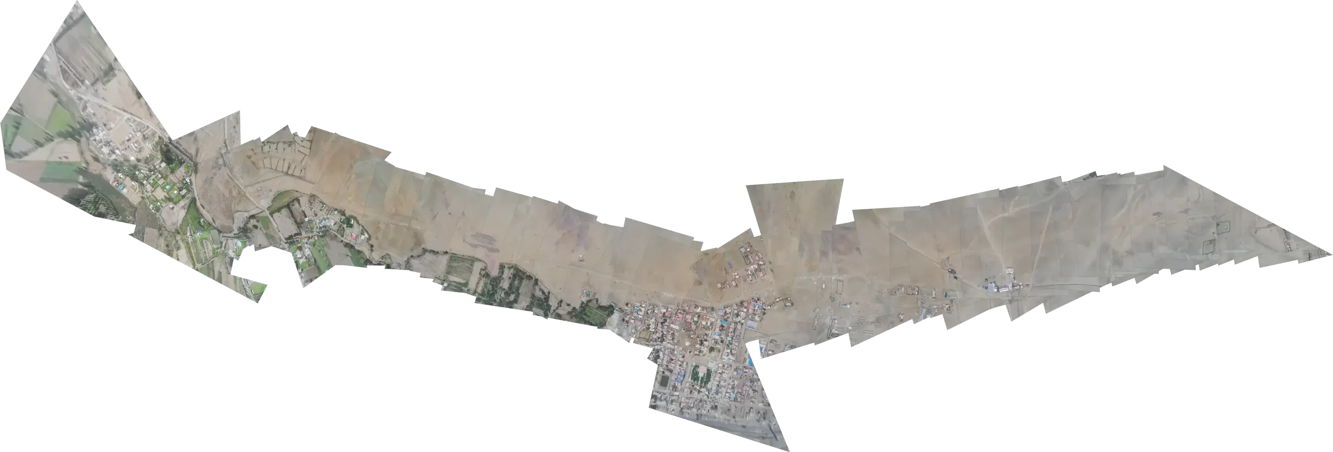
Vertical mosaic of aerial photos from one flight, emerging from the dark under the light

How we work

You decide who flies and where your data lives.

The platform is the same either way: your territory on a map, what each flight found, and dated proof. What you choose is how the work around it is organised.

Start
With the section that worries you most
Scale
To the whole territory, when you decide
Backing
Robotic Air Systems, across six countries

The two decisions

Two questions.
One platform.

You answer them separately, and neither changes what you see: the same map, the same findings, the same proof. Pick one option for each and see what stays on your side.

01Who flies?
02Where does your data live?

What stays on your side

Your side Our side

  1. The flightRobotic Air SystemsOur side
  2. The platformIn the cloudOur side
  3. The decisionYour teamYour side
Flight
Robotic Air Systems plans, flies and answers for every campaign.
Data
You sign in from a browser: nothing to install, nothing to maintain.
Always
You set the boundary and decide what to do with each finding.

The platform stays the same. Who does what is what changes.

How it starts

Start with the section that worries you most.

You don't need to commit your whole territory to find out whether it works for you. You pick one bounded section, we fly it and you review it with your team. If it gives you what you need, it extends to the rest.

The mosaic of a flight almost in the dark, with light on a single section
FirstOne bounded section

Where something may be happening right now. A short scope, easy to evaluate.

The same mosaic, lit from end to end
ThenThe whole territory

With the same boundary, the same distance bands and the same proof, flight after flight.

Images from a real flight.

Your first project

Four steps. You decide the last one.

This is how the first project moves, from the first conversation to the whole territory. At every step you know what comes out of it.

  1. 01

    We talk

    You tell us what you look after, where you're worried and who you answer to. That gives us the first section and the distance bands that matter.

    What comes out
    The section to fly, and its boundary.
  2. 02

    We fly the first section

    We plan the route and fly it. The photos land in their place on the map, and whatever appears inside your bands is marked with its distance and time.

    What comes out
    The section on the map, with what was found.
  3. 03

    We review it together

    We go through what was found with you, on the map, and adjust whatever needs it: the boundary, the bands, what you want to see first.

    What comes out
    The adjustments, and your call on going further.
  4. 04

    We scale up

    With the first section validated, we plan the rest of the territory and how often it gets flown again.

    What comes out
    The plan for the whole territory.
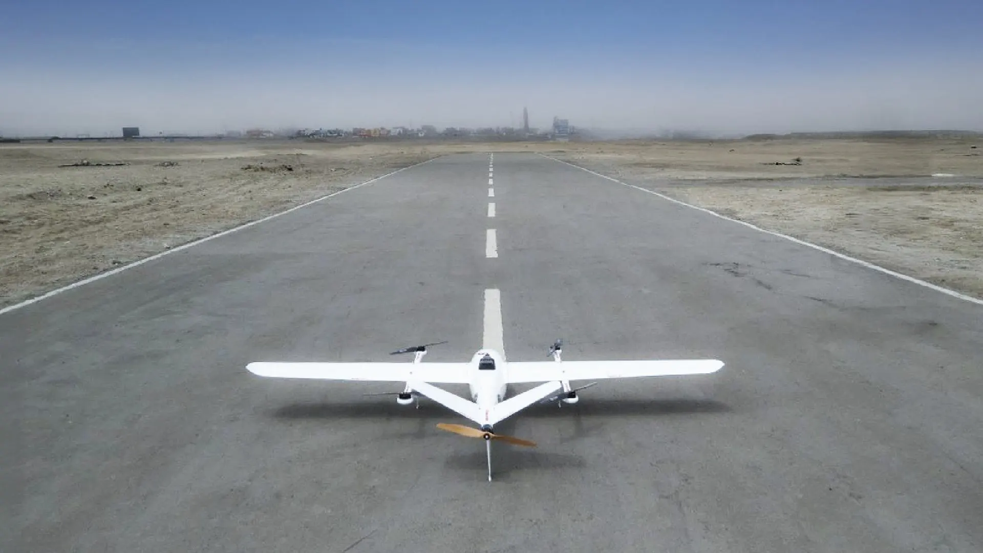
A Robotic Air Systems fixed-wing aircraft ready for take-off on a runway in the middle of the desert

Operational backing · Robotic Air Systems

Behind every campaign is an operation that has already flown at scale.

Robotic Air Systems is the field operator behind Aerial Fences: it plans, flies and answers for every campaign with its own fleet of fixed-wing and multirotor aircraft. And if you'd rather your own operator flies, it's still there as backup.

450,000ha

surveyed from the air

100%

of missions completed

~200km

per flight day

6

countries: Peru, Chile, Colombia, Ecuador, Argentina and Bolivia

Whatever is flown over your territory is backed by a team that, in a single campaign, flew the equivalent of Lima to Buenos Aires.

Who hires us

Companies and public agencies. Each with its own way of deciding.

We talk to whoever answers for the territory and to whoever has to sign off on it. The single-section pilot works the same for both: a first, bounded scope that's easy to evaluate.

Companies

Operations, asset management and corporate security.

We start with whoever answers for the ground, and bring in your IT team when the data has to stay on your infrastructure.

  • A single-section pilot, judged by your own criteria
  • The option to keep the data inside your organisation
  • Growth in stages, at the pace of your budget

Public sector

We adapt to the way your agency procures.

In the public sector, how something is procured matters as much as what is procured. We prepare the technical information and the proposal in the format your process calls for.

  • A first, bounded scope that's easy to put forward and to evaluate
  • Clear technical information for the requesting unit and for procurement
  • Results you can be accountable with: position, date and time of every finding

Next step

Tell us where something may be happening.
That's what we fly first.

Write to us: we propose what the first stretch on your territory would look like, who flies it and where the data lives.

Peru business hours (GMT-5).