New structure8 m10:47:39T03 · 2.208 m
New structure12 m10:42:18T03 · 1.184 m
Earthworks27 m10:44:02T03 · 1.612 m
Machinery41 m10:51:10T04 · 386 m
The platform
Everything each flight captures arrives sorted by section, reviewed and ready to explore on the map. Nothing to export, no files to cross-check, no need to ask whoever was out there.
01The viewer
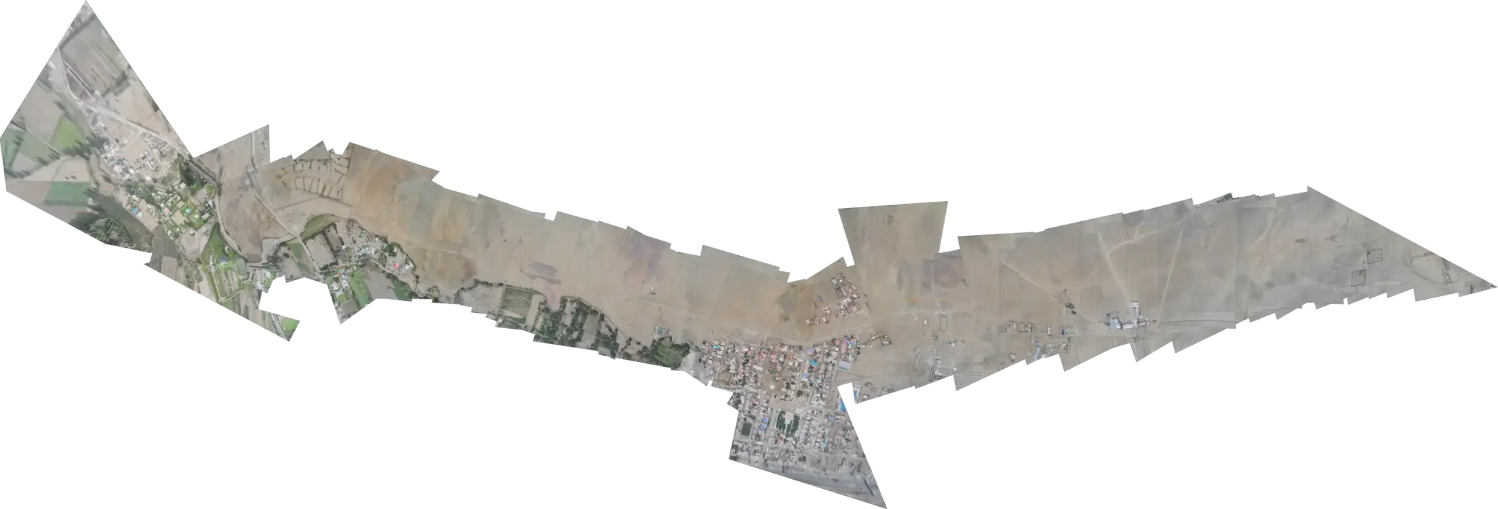
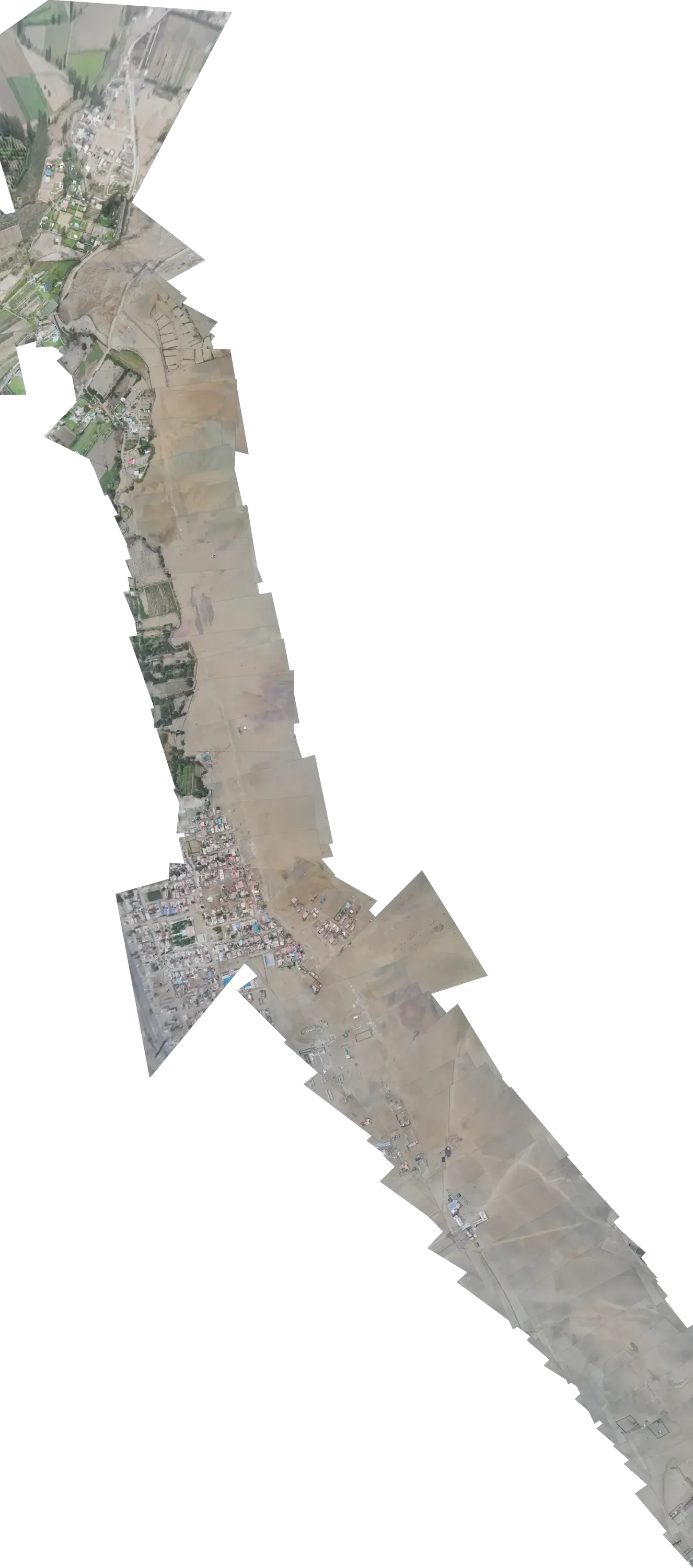
Open the map and your whole territory is there: the boundary you set, every campaign laid over the ground it shows, and what was found on top. A long route splits into sections; an area, into zones. Each one shows its status at a glance.
Sections
Campaigns
Alerts are switched on or muted section by section.
Layers
Recreated interface with sample data. Try the layers and the sections.
The boundary, the distance bands, each campaign and what was found. Keep what you need to decide and switch the rest off.
The front of a works site, a populated crossing, the main access road. You define them, and they change when your operation changes — not when a crew happens to be free.
Switch each section's alerts on or off: your team watches what it chose to watch, without the noise.
02Campaign comparison
The same spot on the ground, on two dates, one over the other. No hunting for the previous file, no wondering whether it's the same place: the platform lays every campaign exactly over the same spot. The reading is yours.
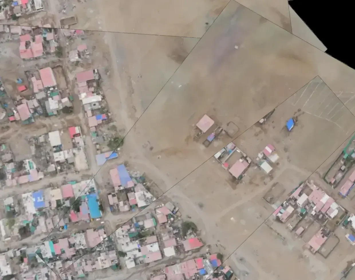
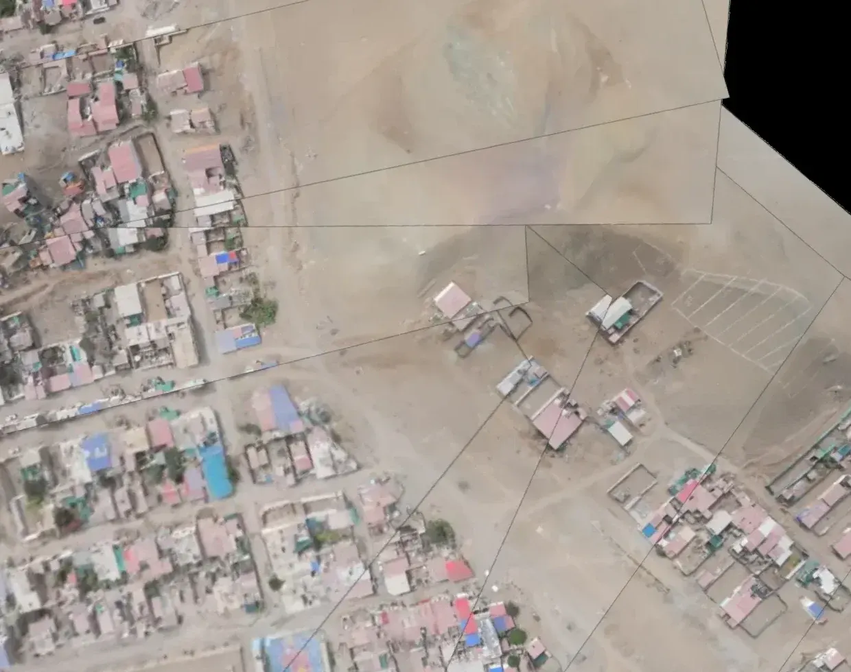
Buildings, camps and machinery that weren't there in the previous campaign.
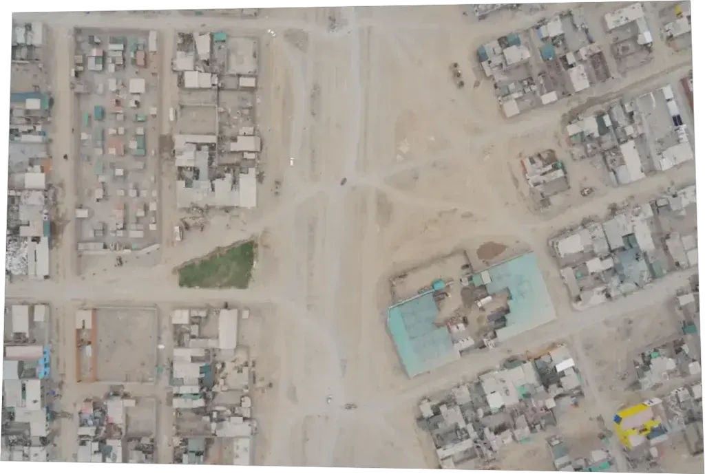
Disturbed earth, excavations, tracks opened where there were none. Every image sits on the real terrain: what you see is where it is, not thirty metres away.
An encroachment that grows campaign after campaign, dated at every step.
03What each flight found
When each flight closes, what it found arrives sorted by section and by distance to what matters to you: the axis, the boundary, the bands you set. You don't start at photo number one; you start with what's closest.
List and cross-section recreated with sample data.
Having someone watching isn't the promise. It's a stage.
Today a specialist reviews every finding before it reaches your team, because a false positive costs more than a review. That work is recorded, and it's the raw material that will let the system need it less and less. Every human review is one you won't need.
04Live, during the flight
You see where it is, the ground being recorded behind it and what shows up in each photo, as it comes in. Once it lands, that flight is saved as one more campaign, ready to compare.
05Field reports
Whoever is on the ground logs what they find — a finding, a photo, confirmation of an alert — and every entry lands with its position and time, on the same map as everything else. No notebook to type up later, no detail lost along the way.
06The proof
It isn't a report you file away: it's a record. Every flight leaves its own report, and every week, one that brings that week's flights together. Download them whenever you need and open them again a year from now, with every finding at the exact spot where it was found.
Week 28 · 06 – 12 JUL 2026
07Role-based access
You decide who gets in and what they see. One project never peeks into another, and each person gets the access their job calls for: whoever decides, whoever supervises, whoever is on the ground.
Next step
Write to us and tell us what you look after. We come back with the fence drawn on top.