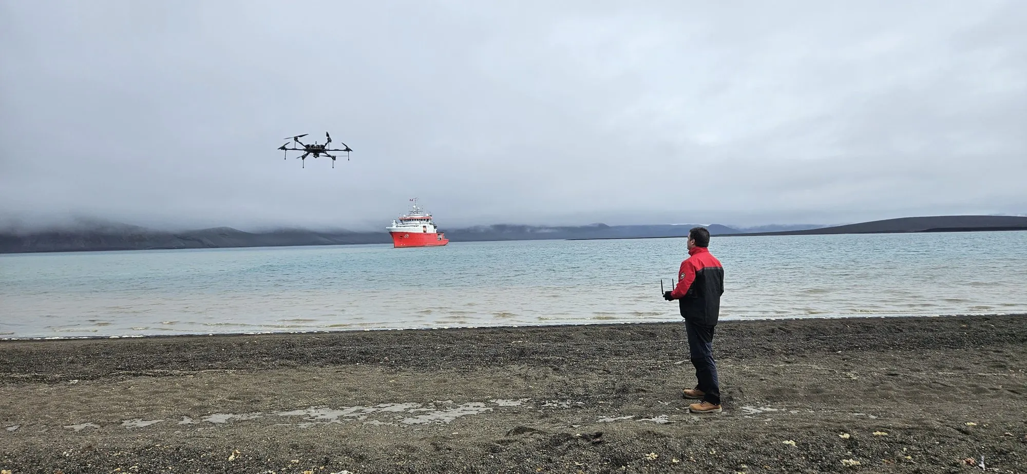
A pilot, seen from behind, flies a multirotor on an Antarctic beach, with a ship in the background

For drone operators

Turn your flights into a professional monitoring and surveillance service.

Aerial Fences works with any drone that meets the minimum capture requirements. You bring the flight; the platform brings the map, the AI, the reports and the traceable evidence your clients expect.

One platform
The same one Robotic Air Systems uses on its campaigns
Any drone
As long as it meets the minimum capture requirements
Any scale
From the first section to a whole territory

01What you get

Your client gets a service,
not a folder of photos.

You upload the photos from your flight and your client sees their territory on a map, with what was found and the proof of every finding. You focus on flying well.

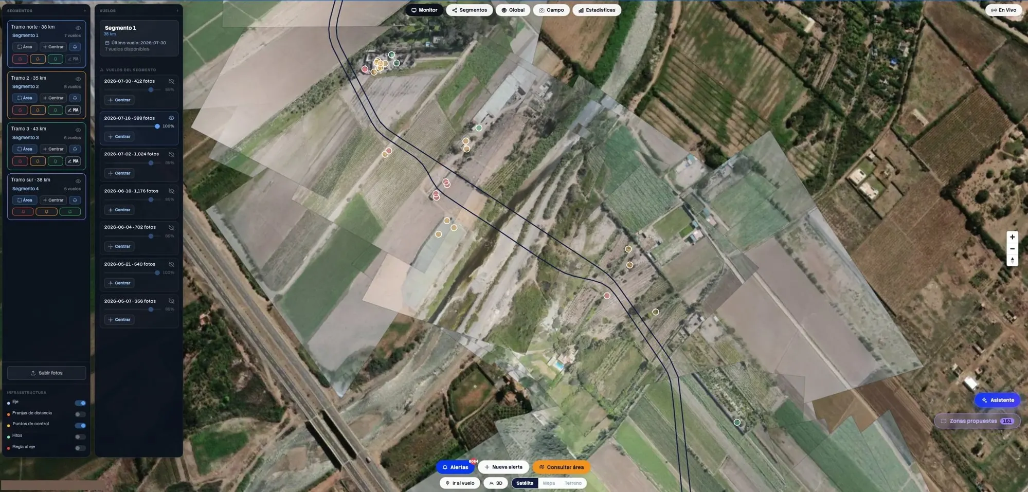
The Aerial Fences workspace: the photos from a flight on the map, with flight and finding panels
Workspace screenshot · sample labels and dates
  1. Platform

    Your client's territory, on a map

    The boundary, the distance bands and every photo from the flight in its place, with role-based access for whoever decides, supervises or works in the field.

  2. AI

    What each flight found

    Aerial Fences' own model, trained on 2 million aerial images, flags vehicles, machinery, people, structures and earthworks.

  3. Reports

    Ready to deliver

    Per-flight and weekly reports, with findings ordered by distance to what your client looks after.

  4. Traceable evidence

    Position, date and time

    Every finding keeps its position on the map and the date and time of the flight that found it, so you can return to that same spot in the next campaign.

02Minimum requirements

What your flight needs,
and what we teach you.

We don't ask for a drone brand or model. We ask that every photo arrives with what's needed to put it in its place on the map. The details depend on your equipment and the project, and we go over them with you before the first flight.

Capture

Photos that can be placed on the ground

  • GPS position and flight altitude in each photo's metadata
  • Camera orientation recorded for every shot
  • A camera with a known focal length
  • Overlap between photos, to cover the section without gaps
  • The flight setup we agree on for each project
Training

We teach you to work with the platform

  • How to plan the capture so the flight is usable
  • How to upload your flights to the platform
  • How to review what was found before it reaches your client
  • How to give your client access and deliver the reports

03How to start

Join by invitation only.

We're bringing on the first operators who will grow with Aerial Fences: teams committed to developing the platform and taking aerial monitoring to more territory. That's why every operator joins by invitation, after we review their equipment and capture together. Request yours and we'll get back to you.

  1. 01

    You write to us

    Tell us what equipment you have, where you operate and who you fly for.

  2. 02

    We review your capture

    With a test flight we check that your photos meet the minimum requirements.

  3. 03

    We invite you to the platform

    You get your space on Aerial Fences and the training to start delivering to your clients.

Next step

Already flying for others?
Let's talk.

Message us on WhatsApp with your equipment and where you operate, and we'll tell you what your first project with Aerial Fences would look like.

Peru business hours (GMT-5).

Would you rather Robotic Air Systems flies? See how we work